Long before Stade was a town with walls, a market and a town hall, there was a landing place for boats here at the edge of the Elbe marsh. Over three centuries that landing place became a fortified seat of counts, a market town of the archbishops of Bremen and finally the core of today’s old town. The road to it begins with a name that simply means “shore”.
What the name tells us
The place name is older than any document. In Old Saxon stath meant shore, coast or harbour; in Middle Low German it became stade. It usually referred to the mouth of a smaller river where boats could tie up. The same word survives in the now rare German “Gestade” and — in an Upper German form — in the Swiss place name Gstaad. Linguistically it belongs with “stehen” and “stellen”: a place where you reach firm ground.
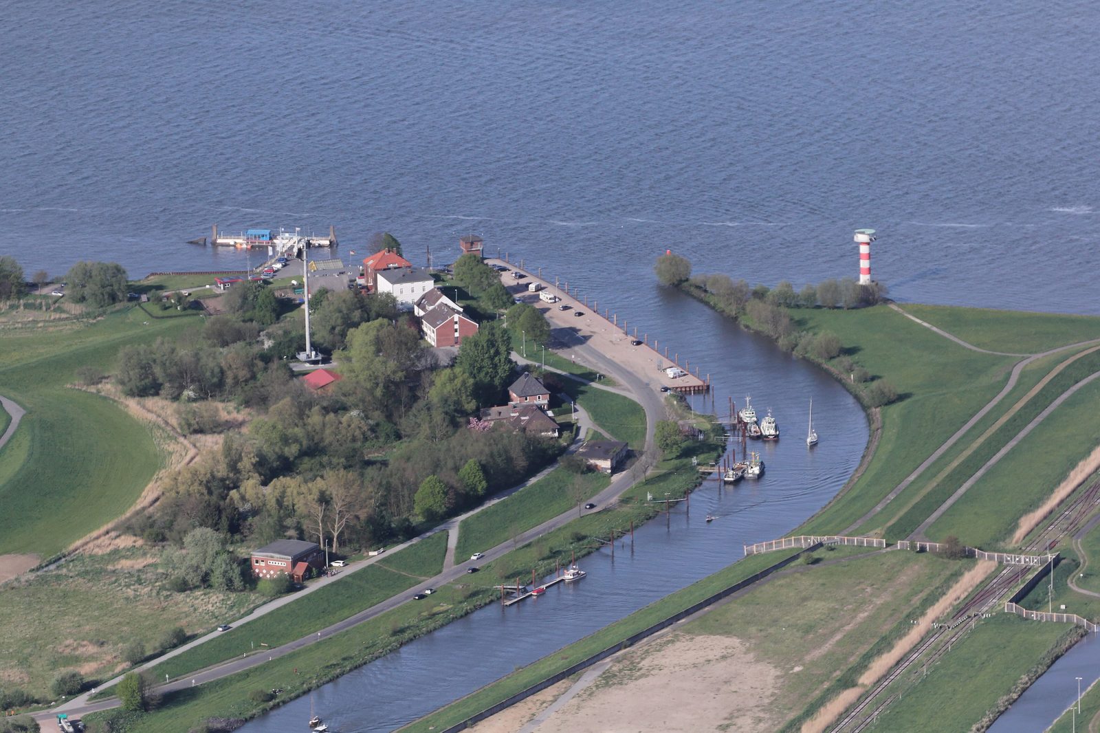
For Stade that fits exactly. The settlement grew on a spur of the geest reaching into the wide glacial valley of the Elbe, at the point where the tide still runs up the Schwinge shortly before its mouth. Anyone landing here stood on dry sand instead of marsh mud.
The older settlement near Groß Thun
People lived in the area as early as the Old Stone Age, as archaeological finds show. The first fortified site with its own landing place, however, was not where the old town stands today but about four kilometres to the south-west, near Groß Thun. It was laid out around the year 650 and was long wrongly called the “Swedish redoubt” — it had nothing to do with the Swedes, who arrived a thousand years later.
Around 800 the inhabitants abandoned this stronghold for reasons unknown and moved north-east to the more convenient spur of the geest. That move is the real birth of present-day Stade. Around 900 a castle on the Spiegelberg secured the new site.
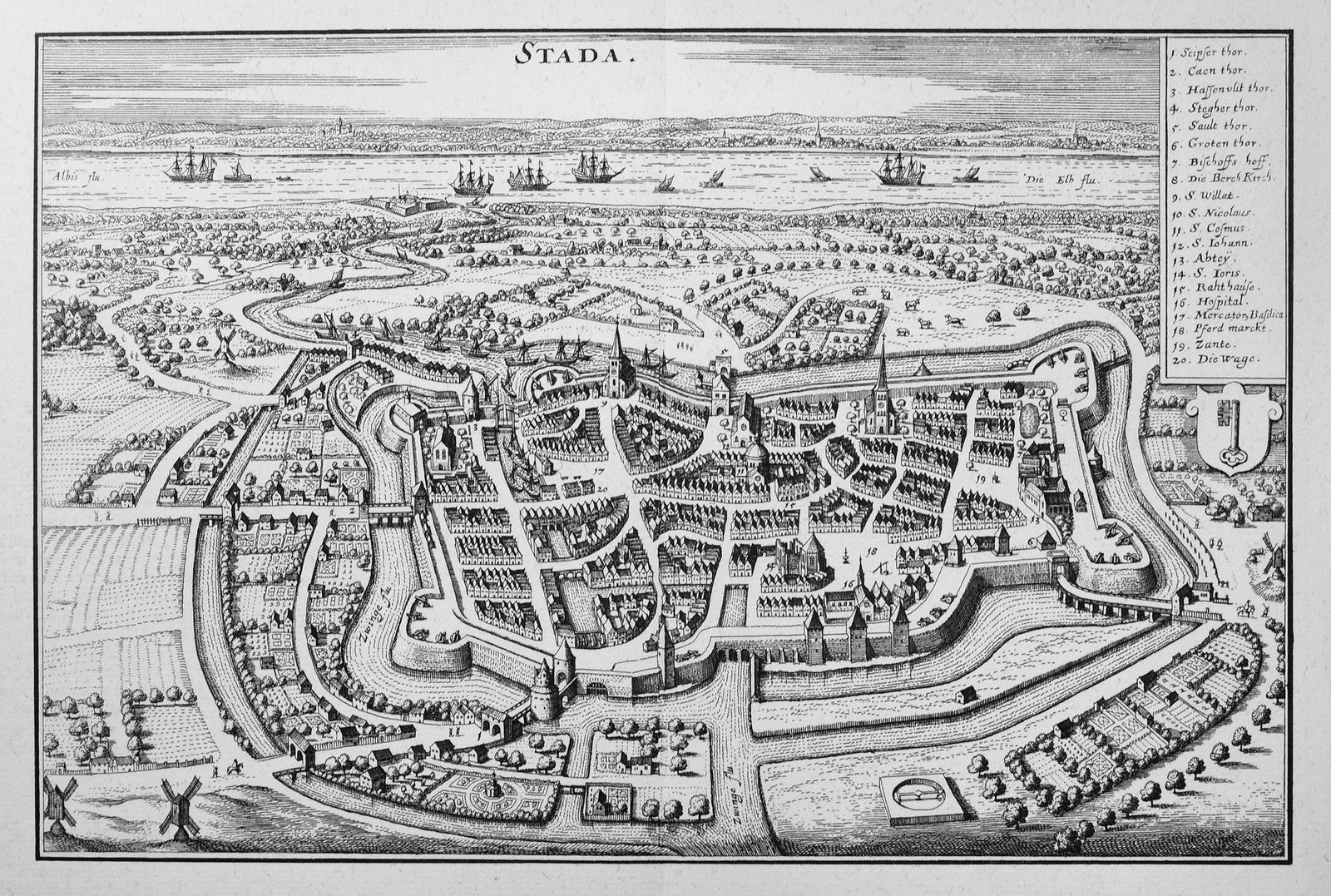
A harbour where old roads met
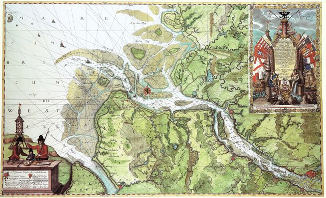
The position was shrewdly chosen. Until the 13th century Stade counted as the most important natural harbour between Cuxhaven and Harburg, and as a strategic crossing of the Elbe. From the north the ox road came out of Jutland through Schleswig-Holstein to the ferry port of Itzehoe opposite; on the Stade side two old long-distance trade routes towards Paderborn and Hanover met. Anyone moving cattle, salt or cloth between the North Sea and the interior could hardly avoid this junction.
994: the raid and the first mention
The place enters the written record with a disaster. In 994 Vikings plundered the settlement — and in the accounts of it the name Stethu appears for the first time. That the raid was recorded at all shows how important the place already was. Shortly afterwards, around the year 1000, the natural landing place was built up into a proper harbour basin: the forerunner of today’s old Hanseatic harbour, which still lies in the middle of the old town.
The counts of Stade
The lords of the place were the Udones, a noble family that governed the north and east of the Elbe–Weser triangle from the 10th to the 12th century. Their forefather Henry the Bald still sat at Harsefeld, where he was allowed to build a castle in 969. Around 1014 his descendants moved the seat to Stade and from then on called themselves counts of Stade. In 1056 Lothar Udo I even rose to margrave of the Nordmark, the territory on the middle Elbe out of which the March of Brandenburg later grew.
The county was not a closed territory but a web of rights and holdings spread across the whole archbishopric of Bremen. In 1063 the Udones gave up their status as direct vassals of the emperor in return for substantial compensation and held Stade thereafter as a fief of the archbishop of Bremen. That set the tone for the centuries to come: Stade remained a place over which counts, dukes and bishops wrestled.
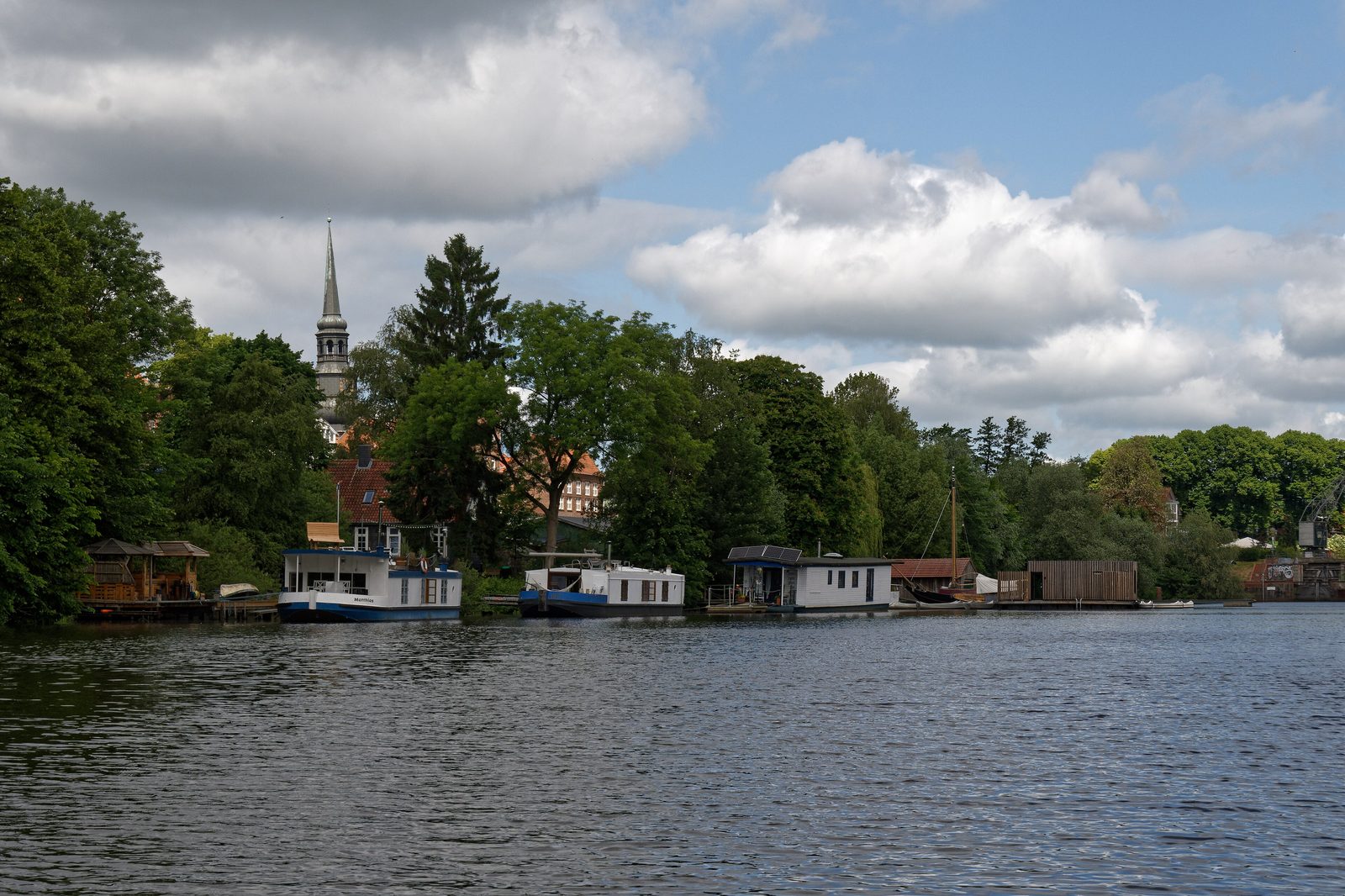
Two settlements, one town
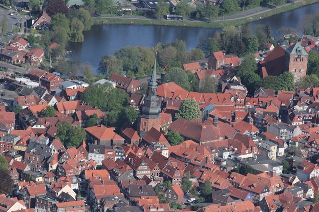
Beside the settlement around the count’s castle, a second core took shape. In 1038 Emperor Conrad II allowed the archbishopric of Bremen to set up a market with a mint and customs on church land in Stade. Around the bishop’s church of St. Wilhadi a separate quarter thus grew up under ecclesiastical rule, door to door with the counts’ castle quarter. This coexistence of secular and church power shaped the layout of the town into the late Middle Ages.
When the male line of the Udones died out in 1144, Henry the Lion seized his chance. The Welf duke took possession of the county in 1145, united the separate settlements into one town and surrounded it with a rampart and a moat. After his fall in 1180 the archbishopric and the Welfs quarrelled over Stade for decades — a quarrel the townspeople knew how to turn to their advantage. How that led to town rights in 1209 is told in the next post.