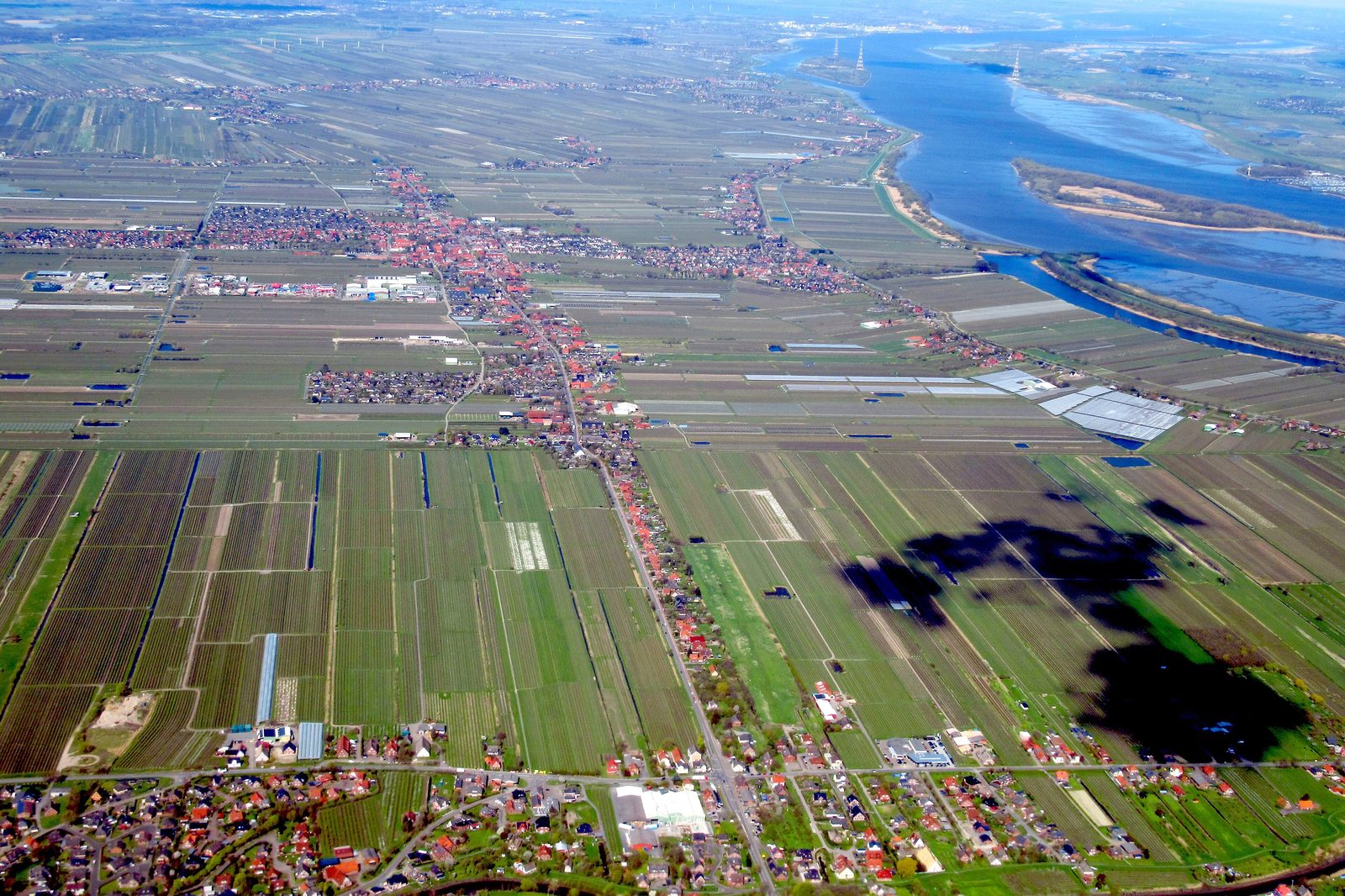
Drive from Stade towards Hamburg and within minutes you are in the middle of the Altes Land: rows of apple trees to the horizon, dykes, ditches and farmhouses with elaborately patterned brick gables. This landscape is no accident of nature but the result of almost 900 years of dyke building and fruit growing.
Where the Altes Land lies
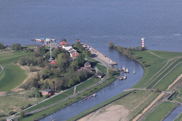
The Altes Land is part of the Elbe marsh on the south-western side of the river. It stretches from the Schwinge at Stade to the Süderelbe in Hamburg. On the Lower Saxon side it takes in the municipality of Jork and the joint municipality of Lühe, on the Hamburg side the districts of Neuenfelde, Cranz and Francop. Stade itself lies on the western edge of this area — Wikipedia describes the town’s position as the “transition of the Altes Land” between Kehdingen to the north-west and the fruit marshes to the east.
The area is divided into three so-called “miles”, following one another along the bank of the Elbe. The First Mile, between the Schwinge and the Lühe, lies closest to Stade. It was diked and settled around 1140. The Second Mile between the Lühe and the Este followed by the end of the 12th century; the Third Mile up to the Süderelbe was fully diked only at the end of the 15th century, because of the constant danger of storm surges.
Dutchmen in the marsh
The name leads back to the history of settlement. In Low German the region is called “Olland”, old land — as opposed to the “new land” later won from the water. Between 1130 and 1230 the rulers brought in settlers from the Netherlands who knew about dykes and drainage. The place name Hollern in the municipality of Hollern-Twielenfleth still recalls those Dutchmen. In Steinkirchen a monument has stood since 1993 to a priest named Heinrich, named in the first colonisation charter for Dutch settlers in the Elbe–Weser region around 1113.
The villages are typical marsh-hufe villages: the farms stand in a row along the road or the dyke, and each farm’s land begins directly behind it, running as a narrow strip to the boggy edge of the geest. This pattern of ditches, tracks and fields has barely changed since the Middle Ages — one reason why the region was proposed as a UNESCO world heritage site in 2011 and 2021. Both bids failed, however, at state and ministry level.
Houses with ornamental gables
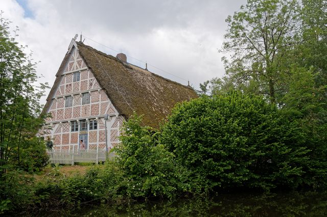
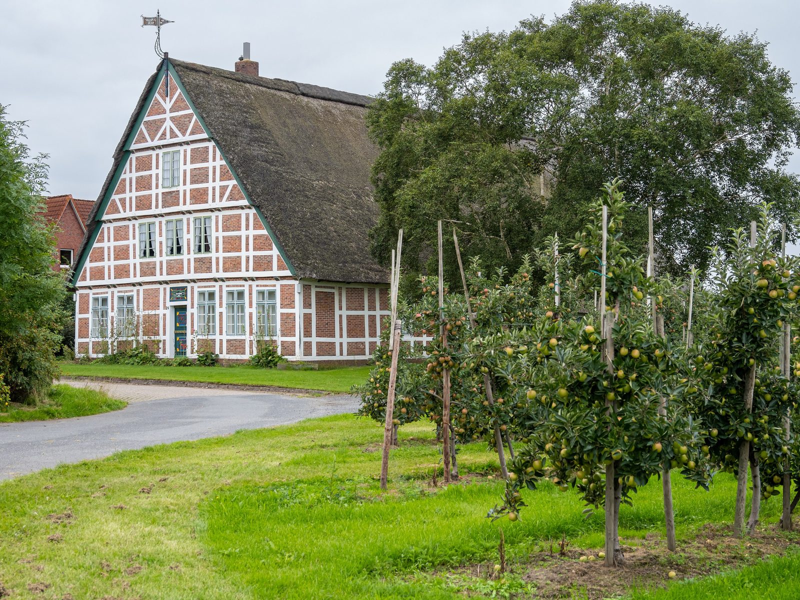
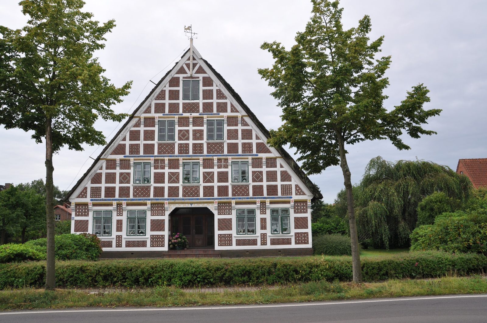
The most striking feature of the Altes Land villages is the richly decorated farmhouses. Brick patterns in the half-timbered gables, white pointing, carved beams and the famous ornamental gateways — free-standing gate structures in front of the farm — still show how prosperous the fruit growers were on the fertile marsh soil. The soil near the Elbe is considered the most productive; towards the geest it becomes boggy and was only used later.
If you want to see the building style without a long drive: there is an Altes Land farmhouse in Stade too, moved to the open-air museum on the island in the moat, where it can be seen from outside at any time.
Apples, cherries and clattering mills
Fruit growing on the lower Elbe is surprisingly old. The first written mention comes from the Stade town book: on 25 March 1312 it speaks of a “pomarium”, an orchard belonging to the monks of the priory of St. Georg within the town. By the 17th century some 200 hectares were already under fruit. Fruit growing became the dominant land use in the second half of the 19th century.
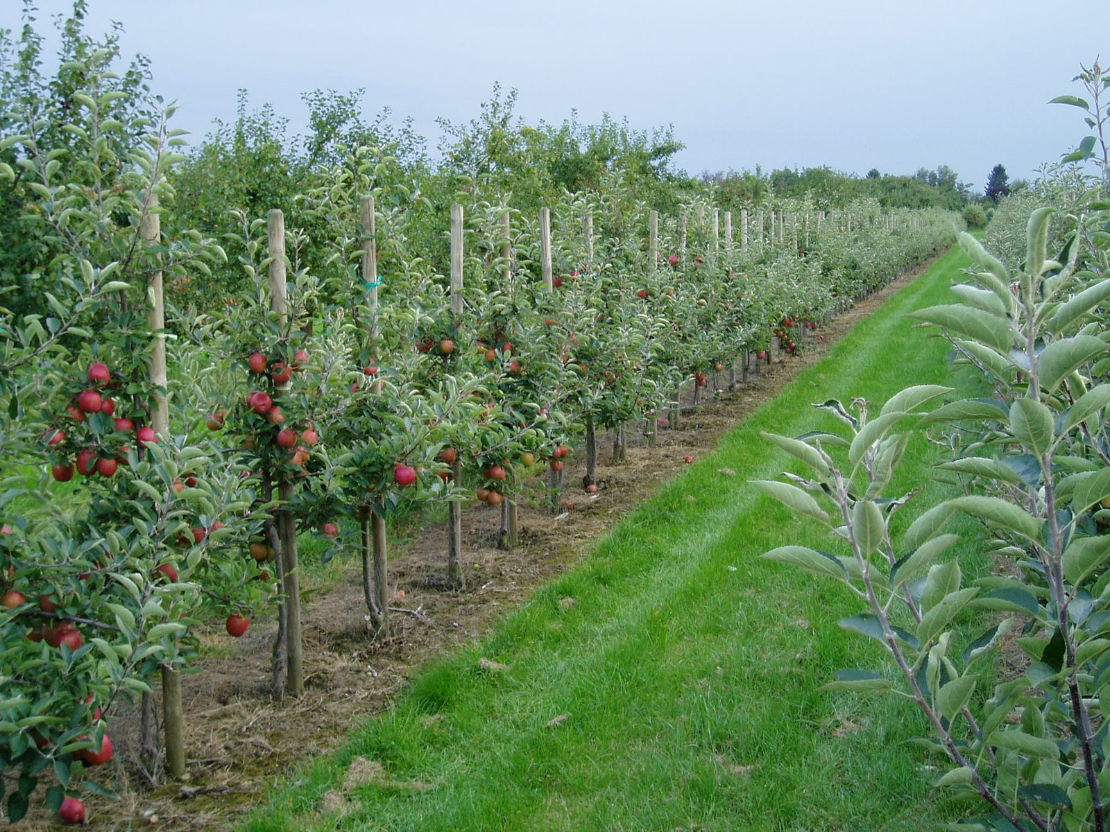
Today apples, cherries, pears and other fruit grow on about 10,700 hectares. Around 77 per cent of the trees are apple trees, just under 13 per cent cherries. Drive through the villages in summer and you will see the rows of cherry trees under fine netting: it protects the fruit from starlings, “Spreen” in Low German. In the past that job fell to children with hand rattles and shouts, later to clattering windmills on long poles and finally to propane bangers that echoed across the marsh for hours. Since the late 1980s the quieter bird nets have taken over.
The blossom — and climate change
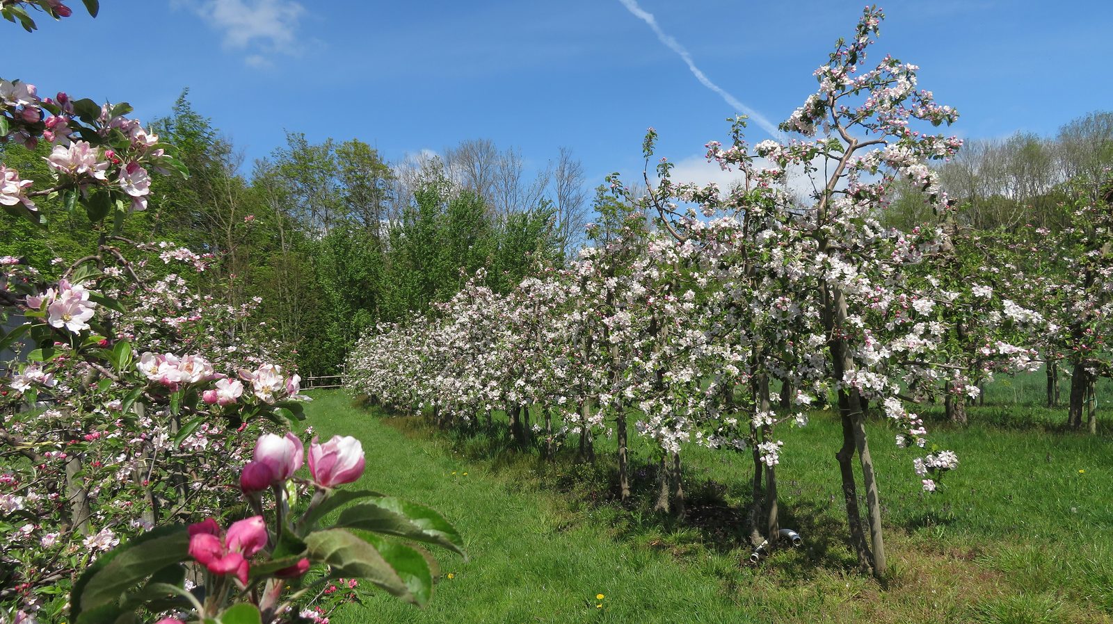
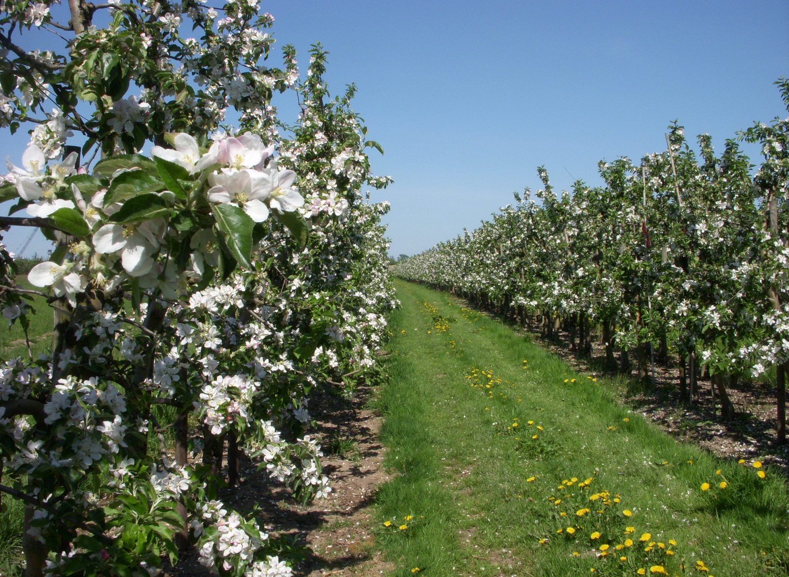
The best-known moment of the Altes Land year is the fruit blossom in spring, when the orchards turn white and pink. Each year a blossom queen is chosen for the blossom festival, wearing the traditional Altes Land wedding costume. The date, however, is shifting: since 1975 the average temperature in the Altes Land has risen by 1.7 degrees, and varieties such as the Red Boskoop now flower several weeks earlier than they did then. Experts think it possible that in the long run peaches and apricots may replace part of the apple growing.
Administration: from the district of Jork to the district of Stade
Politically the Altes Land had its own self-government from the Middle Ages, most recently as the Prussian district of Jork from 1885. When that was dissolved in 1932, the part west of the Este went to the district of Stade and the eastern part to the district of Harburg. In 1937 Cranz, Neuenfelde and Francop passed to Hamburg under the Greater Hamburg Act. Since the reorganisation of 1972, Hove and Moorende have also belonged to the municipality of Jork and thus to the district of Stade. For people in Stade that means Jork, Steinkirchen and Hollern-Twielenfleth are not just neighbours but part of the same district — with KVG buses running straight from Stade station into the orchard country.
Gallery
Sources
- Wikipedia: Altes Land (03/2026)
- Wikipedia: Stade (Abschnitt Lage) (08/2026)