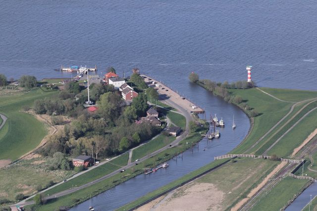
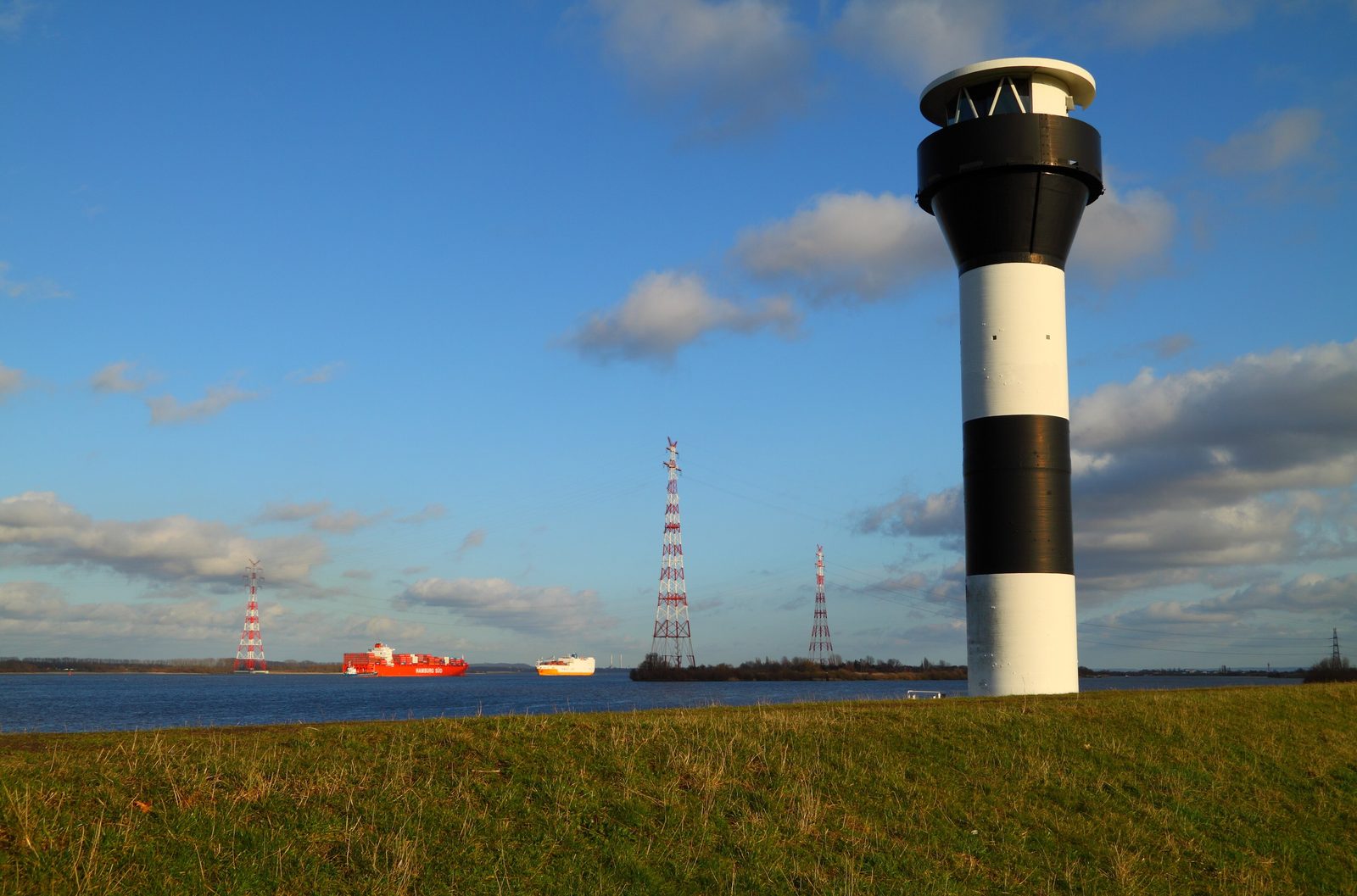
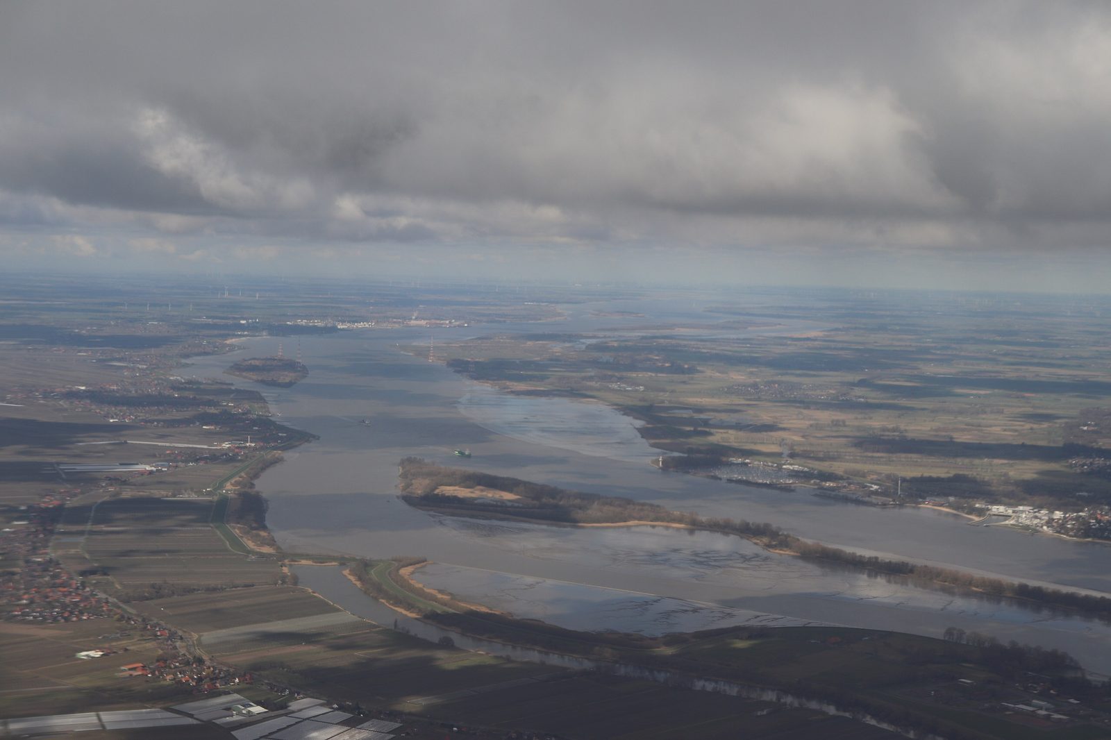
Stade does not lie directly on the Elbe, but the Elbe is never far away. Four kilometres beyond the old town the Schwinge joins the river, and a few kilometres further on there is sandy beach, dyke meadows and a view of the ships heading for Hamburg. Anyone wanting to cross the Elbe has to take to the water: there is no bridge before Hamburg.
A river without a bridge
Between Stade and the North Sea there is no fixed crossing of the Elbe, and upstream the nearest road bridge is not until Hamburg. That shapes the region: the opposite bank, the Schleswig-Holstein marsh around Glückstadt, is close and yet reachable only by boat. After the First World War there was even a plan for a “Hanseatic canal” that would branch off the Elbe at Stade and run via the Weser to the Mittelland canal; it was finally abandoned in the 1950s.
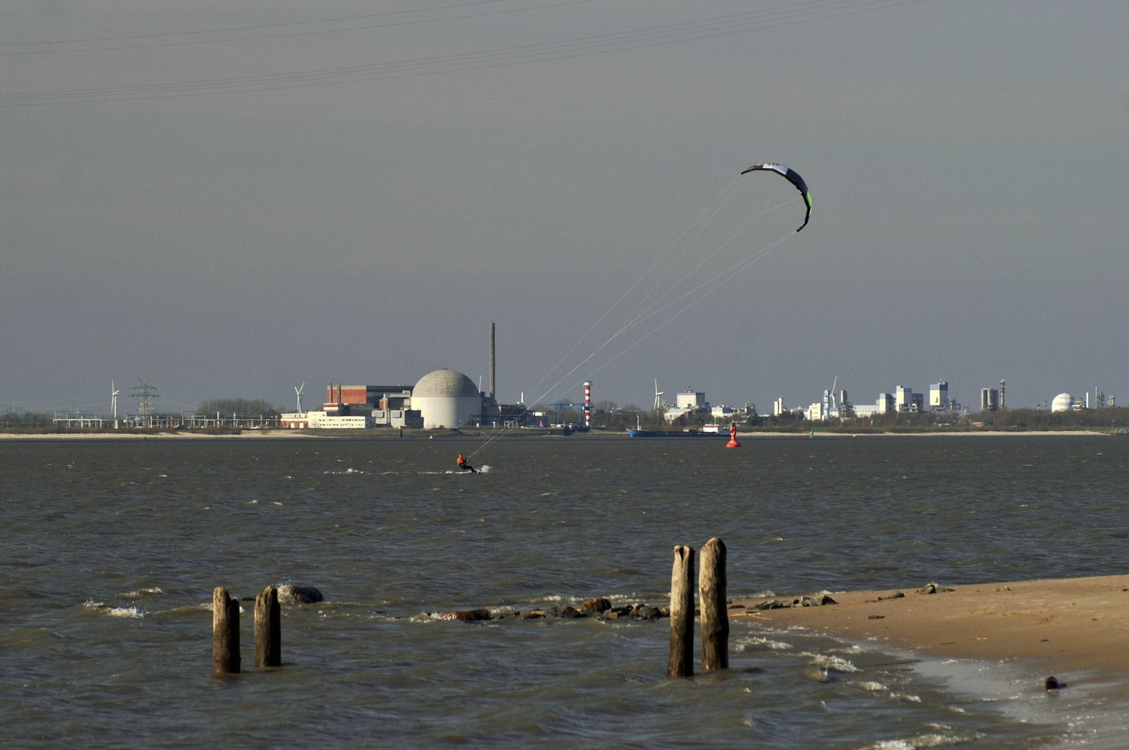
The lower Elbe here is a tidal river with strong variations in level. That also made it a difficult supplier of cooling water for the nuclear power stations along the river — the Stade plant at the mouth of the Schwinge has, like Brokdorf, Brunsbüttel and Krümmel, since been shut down. A separate post on industry along the Elbe follows in this blog.
The beach at Bassenfleth
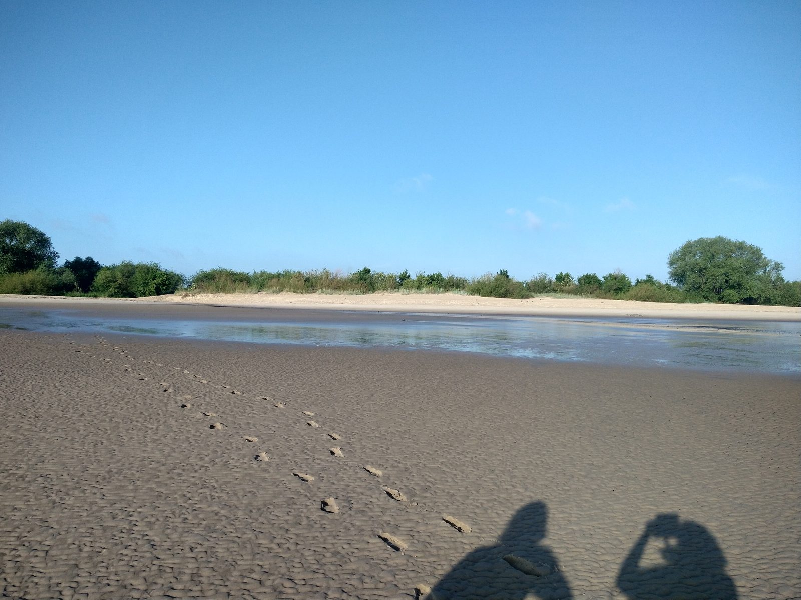
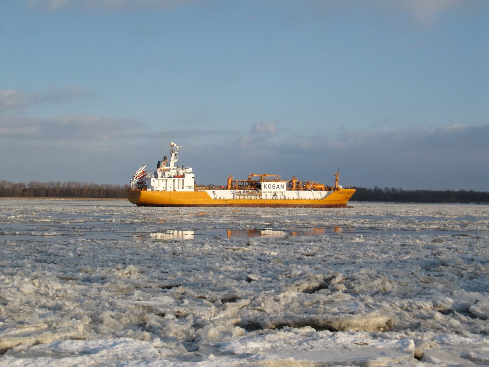
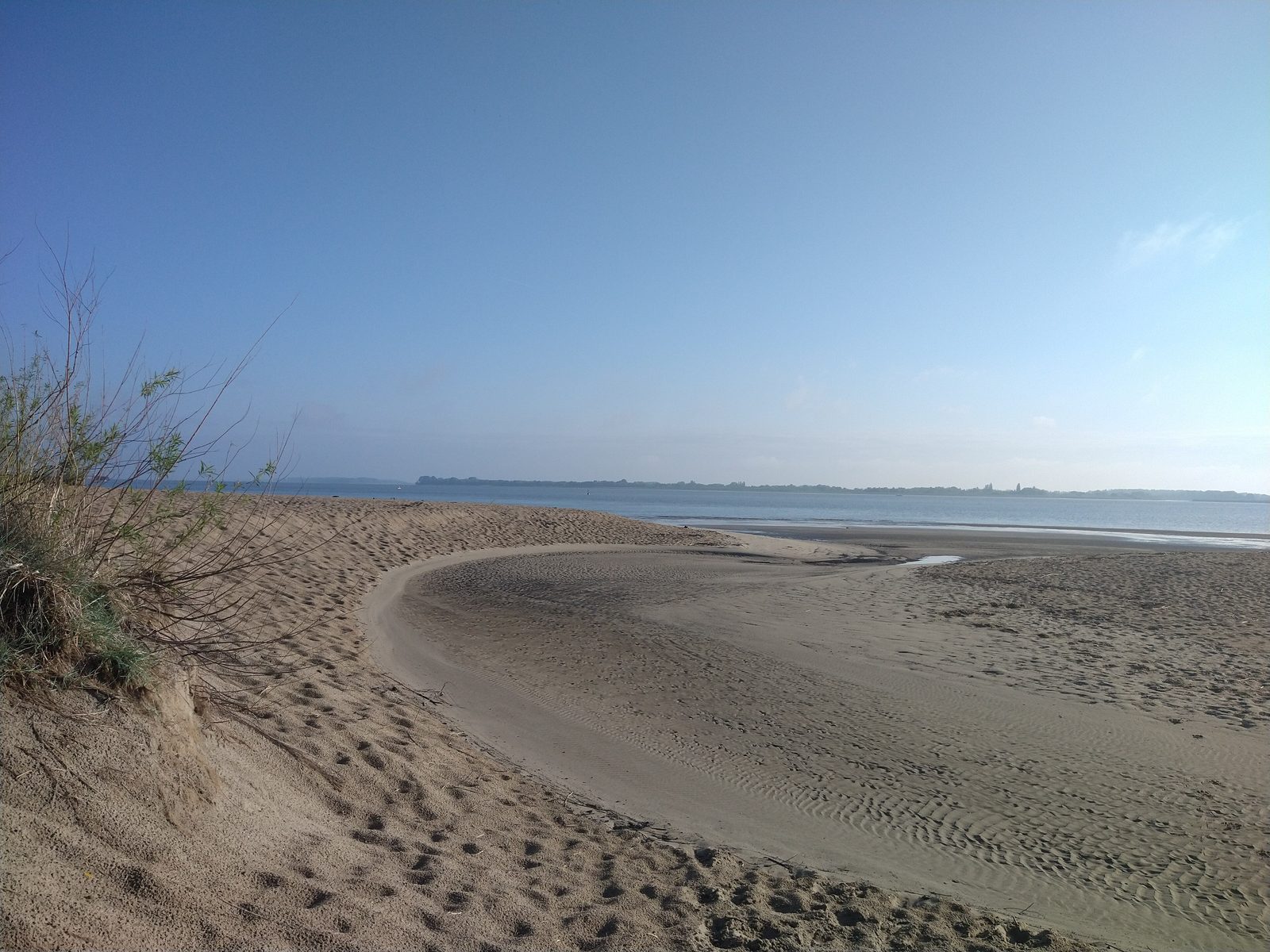
If you want sand under your feet in summer, drive to Bassenfleth in the neighbouring municipality of Hollern-Twielenfleth. There is a sandy beach right on the river, with a view of passing container ships and the wind turbines on the far bank. The photographs in this post show the beach at low tide, when the mudflats are exposed, and the dyke landscape behind. Sheep graze on the Elbe dykes — they keep the grass short and their hooves compact the turf, which keeps the dyke stable. When it is windy, kitesurfers are out on the Elbe; in the hard winter of 2012 ice floes even drifted down the river.
Kehdingen: the land behind the dyke
North-west of Stade, between the Schwinge and the Oste, stretches the land of Kehdingen. It is a flat marsh and bog landscape, parts of which lie below sea level because of the diking. For migrating birds the area is an important resting place; many areas outside the dyke are nature reserves. Four Elbe islands are reckoned to Kehdingen: Krautsand, Gauensieker Sand, Asseler Sand and Bützflether Sand.
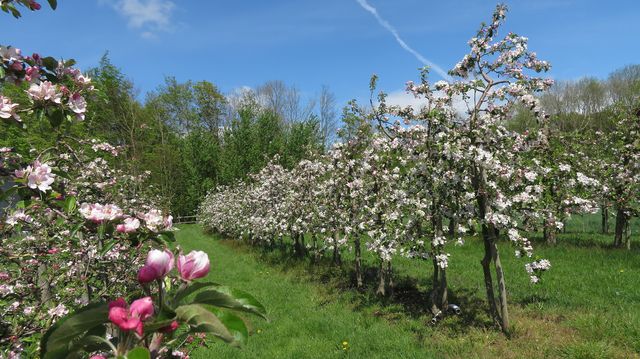
Historically, under the rule of the archbishopric of Bremen, Kehdingen had a constitution of its own that mainly regulated dyke building, and from 1541 it was represented as an estate at the Bremen diets. Until 1932 there was a separate Prussian district of Kehdingen with its chief town at Freiburg on the Elbe; then it was absorbed into the district of Stade. The economy is still agricultural: arable farming on the young marshes, dairying, some fruit growing on the Altes Land model and horse breeding. For a long time brickworks also shaped the bank — nearby Hamburg needed a great deal of brick, especially during the rebuilding after the Second World War.
The Wischhafen–Glückstadt ferry
The most important link across the river is the ferry between Wischhafen in the district of Stade and Glückstadt in the district of Steinburg. It is part of federal road 495 and thus a “floating” road. The ferry service was founded in 1919 by Ernst Sturm, a captain who had sailed round Cape Horn. The business stayed in the family for three generations until it was taken over in mid-2020 by the Flensburg shipping company FRS.
At this point the Elbe is about three and a half kilometres wide; the route measures some four and a half kilometres and takes about 25 minutes. During the day two ships run each hour in both directions, and every 20 minutes when demand is high. The four ferries in service are similar to one another and each takes around 55 cars; the oldest, the “Glückstadt”, was built as long ago as 1959, the youngest, the “Wischhafen”, in 1988 at the Sietas yard in Hamburg-Neuenfelde. For cyclists the ferry is the cheapest way from Lower Saxony to the west coast of Schleswig-Holstein — the next crossing is only between Lühe and Wedel.
The operator has presented a concept with four to six electric ferries that would cut the crossing to about 14 minutes. In parallel, a fixed Elbe crossing for the A 20 motorway at Glückstadt has been planned for years, and is controversial because of its high cost.
The German Ferry Road
The Elbe ferry is also a stop on the German Ferry Road, a holiday route of some 250 kilometres from Kiel to Bremervörde opened in May 2004. It links about 50 bridges, locks, barriers and ferries — among them Germany’s last two transporter bridges in Rendsburg and Osten on the Oste, and hand-pulled cable ferries such as the one at Gräpel. In the Stade district the Elbe ferry at Wischhafen, the Oste barrier and the pram ferries at Brobergen and Gräpel belong to it. So anyone wanting to experience the Elbe over a weekend can start in Stade, relax on the beach, cross by ferry and return by way of the Oste.
Gallery
Sources
- Wikipedia: FRS Elbfähre Glückstadt Wischhafen (07/2025)
- Wikipedia: Kehdingen (08/2026)
- Wikipedia: Deutsche Fährstraße (04/2025)
- Wikipedia: Elbe (2026)